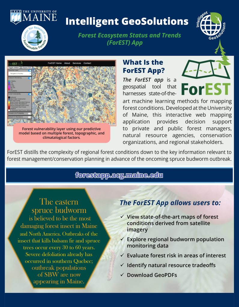
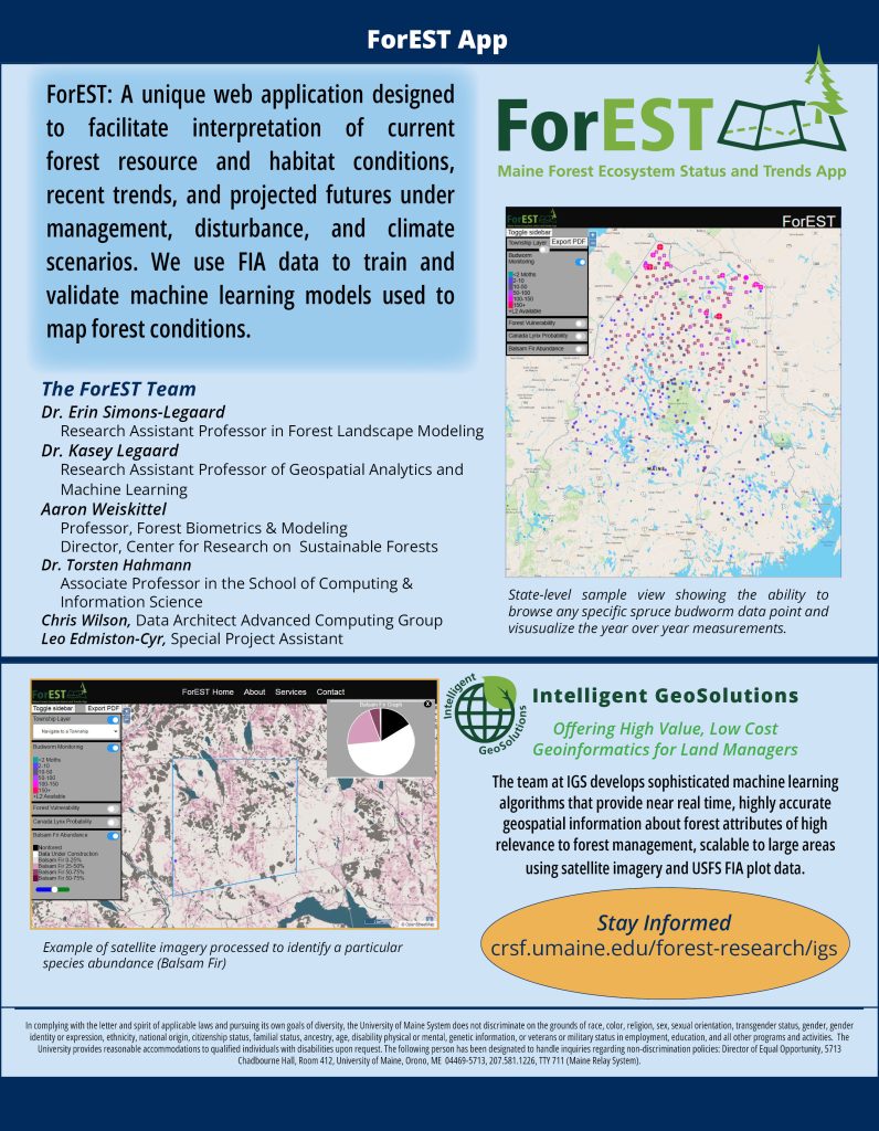
 Offering High Value, Low Cost Geoinformatics for Land Managers
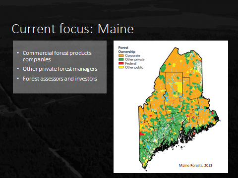
Forest managers in Maine have identified lack of broad-scale, up-to-date geospatial information about forest and landscape conditions relevant to forest management or conservation actions as a barrier to planning and prioritization.
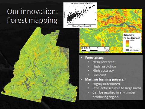
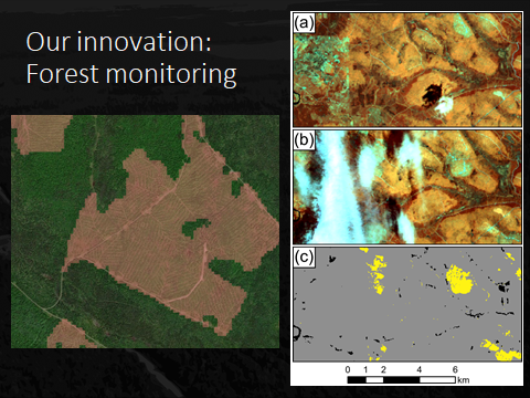
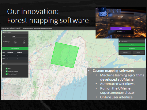
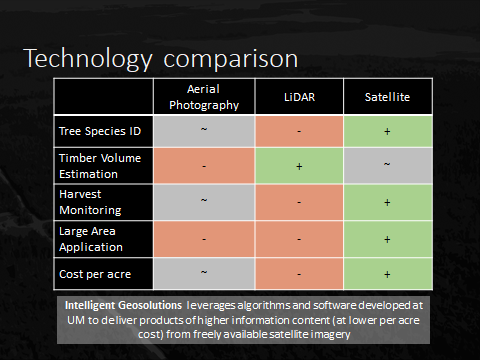
We have developed sophisticated machine learning algorithms that provide near real time, highly accurate geospatial information about forest attributes of high relevance to forest management, scalable to large areas using satellite imagery and USFS FIA plot data.
HOW THE MAPPING APPROACH WORKS
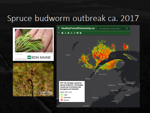
Our mapping approach combines the strength of Support Vector Machines (SVMs) to model complex, nonlinear relationships based on limited training data with the adaptability of a Genetic Algorithm (GA). We use this framework to generate many candidate models relating reference data from inventory plots (e.g., species basal area) to a broad suite of predictors derived from satellite imagery and other sources (e.g., digital elevation model). Check out the slideshow below for an overview of current/future IGS products.
The GA guides the evolution of models to simultaneously increase accuracy and reduce bias, an important source of error that causes systematic over- or under-prediction. Whereas other prediction methods have either ignored bias or treated it as uncontrollable, the minimization of bias is built into our modeling framework. And by simultaneously generating many hundreds of candidate models, we can select specific models or blend multiple models to tailor predictive performance to specific user needs, avoiding the pitfall of assuming that one map fits all users. Our methods are highly adaptive and highly efficient, reducing production time and cost.
PRODUCTS
Tree species biomass, species relative abundance, species associations, forest types, wildlife habitat suitability, disturbance history, canopy change and annual updating.
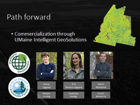
Intelligent GeoSolutions Research Team
High Resolution Land Cover Project
A Partnership of IGS, NOAA, and the Maine GeoLibrary
Current, accurate land cover data that documents features that cover the surface of the earth (e.g., trees, wetlands, etc.) provides a foundational dataset used to address a wide range of management issues. Regular updates to these datasets are essential to evaluate how a community’s past land management efforts are working and provide valuable information on trends to aid future planning.
There are few existing statewide land cover products available for Maine. The Maine Land Cover Dataset (MeLCD) was produced in 2004, but has not been updated.
The proposed high resolution land cover data set, to be developed with collaboration from members of NOAA, the IGS team and Wheatland Lab at UMaine, and the Maine GeoLibrary, would include a 1-meter land cover product, consistent with NOAA’s Coastal Change Analysis Program (C-CAP) data, and a 10-meter land cover product including C-CAP classes plus detailed forest type classes developed by IGS. Both layers would be maintained on a 4 to 6-year cycle. Regularly updated 1 m and 10 m layers would provide current land cover data to the state of Maine with unprecedented spatial, temporal, and thematic detail.
Funding for this project is currently underway. More details for this proposal can be found at the Maine GeoLibrary.
Journal Articles
Multi‐Objective Support Vector Regression Reduces Systematic Error in Moderate Resolution Maps of Tree Species Abundance
IGS Resources

Intelligent GeoSolutions Overview: Presentation at land cover mapping workshop, August 14, 2019.
Mapping Maine’s Land Cover: A New Approach. Position paper on the how a next-generation land cover mapping project for the state of Maine be approached as a partnership between state and federal agencies, the University of Maine, and other private stakeholder organizations.
IGS Design Principles overview.
IGS Machine Learning overview.

